
OS grid reference SN625515 Country Wales Postcode district SA48 8LG Local time Thursday 11:12 AM | Sovereign state United Kingdom Ceremonial county Dyfed | |
 | ||
Weather 7°C, Wind NE at 23 km/h, 79% Humidity | ||
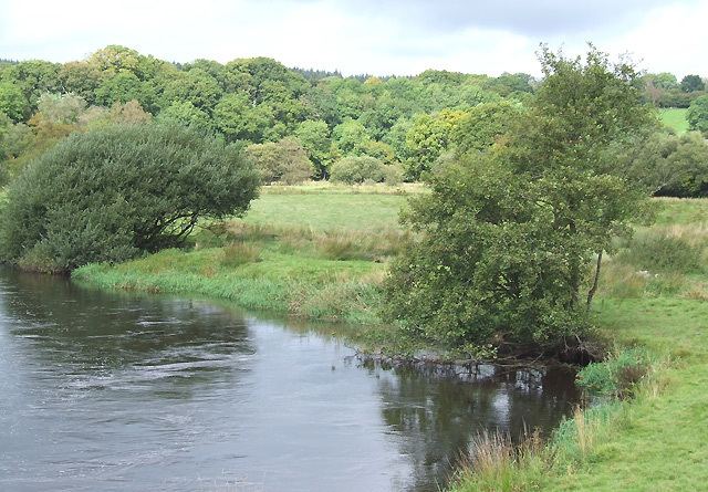
Llanfair Clydogau is a village and a community in Ceredigion, Wales. It is located on the B4343 road 4 miles north-east of Lampeter.
Map of Llanfair Clydogau, Lampeter, UK
The electoral ward's population in 2011 was 634.
The village church is St Mary's. Of the two churches in the village, St Mary’s is the older and a building on its site existed before the early 16th century. The newer, Capel Mair, was built in 1825.
References
Llanfair Clydogau Wikipedia(Text) CC BY-SA