
Population 453 (2011) Community Llanfair Country Wales Local time Thursday 11:13 AM | OS grid reference SH576291 Sovereign state United Kingdom Dialling code 01341 | |
 | ||
Weather 11°C, Wind NE at 24 km/h, 68% Humidity | ||
Llanfair is a village and community in the Ardudwy area of Gwynedd in Wales. It has a population of 474, reducing to 453 at the 2011 census.
Map of Llanfair, UK
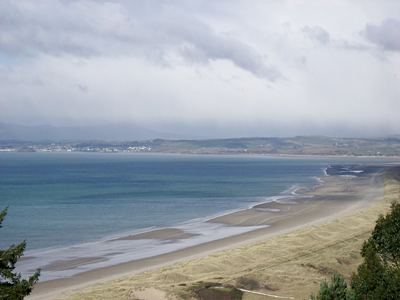
The village of Llanfair is situated to the east of the A496 coastal road between Llanbedr and Harlech.
The parish church of St Mair (St Mary), dating from the 12th century, was restored in the 19th century. It is a grade II* listed building.
The Chwarel Hen slate quarry, which operated in the 19th and early 20th century, is situated close to the village and is open to the public.
References
Llanfair, Gwynedd Wikipedia(Text) CC BY-SA