
Country Philippines Founded May 11, 1955 Time zone PST (UTC+8) Population 36,200 (2010) Province Nueva Ecija | District 2nd District Barangays Area 114.4 km² Local time Thursday 7:09 PM Dialling code 44 | |
 | ||
Region Central Luzon (Region III) Weather 24°C, Wind NW at 5 km/h, 90% Humidity | ||
Trip to llanera nueva ecija
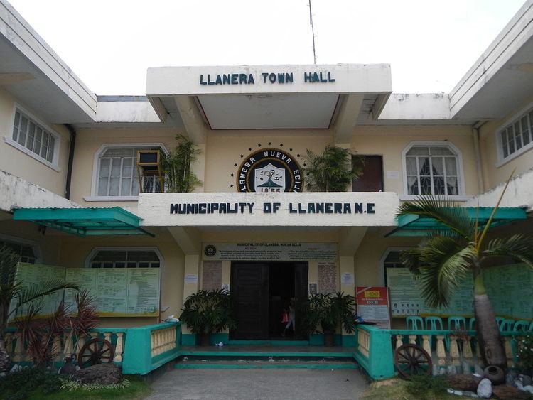
Llanera is a fourth class municipality in the province of Nueva Ecija, Philippines. According to the 2010 census, it has a population of 36,200 people.
Contents
- Trip to llanera nueva ecija
- Map of Llanera Nueva Ecija Philippines
- Exekeotix llanera nueva ecija wmv
- Barangays
- History
- References
Map of Llanera, Nueva Ecija, Philippines
The town's economy is largely agricultural, with rice as the principal product. It is a land of plains with frew creeks a small dam and a river the only water bodies bisecting the plains. There are no mountain ranges in the municipality. Principal industry and commerce are related to the production of rice and rice products. Minor products include onion growing, cattle raising and vegetable production. The town also known for its "KAPAGAYAN FESTIVAL" it is usually celebrated every first to second week of May.
The municipality is traversed by a national road leading to Aurora province. The municipality is bounded by the city of San Jose, the municipalities of Talavera, Rizal and Natividad.
Exekeotix llanera nueva ecija wmv
Barangays
Llanera is politically subdivided into 22 barangays.
History
During World War II, the local military establishment of the main general headquarters and main camp base of the Philippine Commonwealth Army was active from 1944 to 1945 and the 2nd Infantry Regiment of the Philippine Constabulary was founding again on 1944 to 1946 and they military stationed at the town of Llanera. From the engagements of all clearing operations of the Anti-Japanese Imperial Military Operations in Central Luzon included the province of Pampanga, Nueva Ecija, Tarlac, Bulacan, Zambales and Northern Tayabas (now. Aurora) on 1942 to 1945 and anding various guerrilla groups and the American liberation forces of the U.S. Army and U.S. Army Air Forces and fought against the Japanese Imperial forces.
The town was created in 1954 from territory carved from the three neighboring towns: