
Country United States FIPS code 29-43454 Elevation 254 m Zip code 63551 Local time Thursday 3:13 AM | Time zone Central (CST) (UTC-6) GNIS feature ID 0721368 Area 70 ha Population 73 (2013) Area code 660 | |
 | ||
Weather 6°C, Wind SE at 19 km/h, 35% Humidity | ||
Livonia is a village in Putnam County, Missouri, United States. The population was 74 at the 2010 census.
Contents
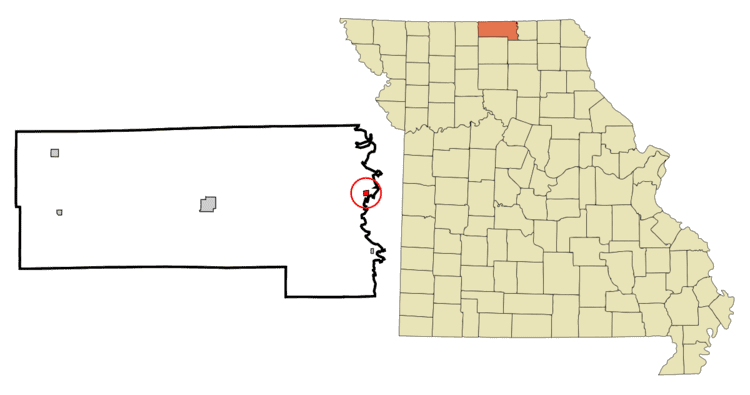
Map of Livonia, MO 63551, USA
History
The plat for Livonia, Missouri was laid out in May, 1859 by Absalom Grogan and consisted of four blocks containing eight lots each. Grogan was also the towns first postmaster. Following Grogan's death however, the post office was moved to the farm of Joseph Martin approximately three miles to the north of the original plat. The town, for all practical purposes, followed this move and by 1888 had the post office, Martin's general store, the blacksmith shop of Dan Kelly, and a population of around fifteen people.
On July 26, 2011 the United States Postal Service announced plans to permanently close the Livonia post office as part of a nationwide restructuring plan.
Notable people
Geography
Livonia is located at 40°29′30″N 92°41′56″W (40.491673, -92.698759). According to the United States Census Bureau, the village has a total area of 0.27 square miles (0.70 km2), all of it land.
2010 census
As of the census of 2010, there were 74 people, 35 households, and 22 families residing in the village. The population density was 274.1 inhabitants per square mile (105.8/km2). There were 47 housing units at an average density of 174.1 per square mile (67.2/km2). The racial makeup of the village was 100.0% White. Hispanic or Latino of any race were 1.4% of the population.
There were 35 households of which 20.0% had children under the age of 18 living with them, 48.6% were married couples living together, 8.6% had a female householder with no husband present, 5.7% had a male householder with no wife present, and 37.1% were non-families. 31.4% of all households were made up of individuals and 14.3% had someone living alone who was 65 years of age or older. The average household size was 2.11 and the average family size was 2.64.
The median age in the village was 50 years. 13.5% of residents were under the age of 18; 10.9% were between the ages of 18 and 24; 14.9% were from 25 to 44; 44.7% were from 45 to 64; and 16.2% were 65 years of age or older. The gender makeup of the village was 45.9% male and 54.1% female.
2000 census
As of the census of 2000, there were 114 people, 46 households, and 28 families residing in the village. The population density was 428.8 people per square mile (163.0/km²). There were 62 housing units at an average density of 233.2 per square mile (88.7/km²). The racial makeup of the village was 95.61% White, 1.75% Native American, and 2.63% from two or more races.
There were 46 households out of which 30.4% had children under the age of 18 living with them, 47.8% were married couples living together, 6.5% had a female householder with no husband present, and 39.1% were non-families. 30.4% of all households were made up of individuals and 6.5% had someone living alone who was 65 years of age or older. The average household size was 2.48 and the average family size was 3.29.
In the village, the population was spread out with 28.9% under the age of 18, 7.0% from 18 to 24, 28.9% from 25 to 44, 23.7% from 45 to 64, and 11.4% who were 65 years of age or older. The median age was 39 years. For every 100 females there were 119.2 males. For every 100 females age 18 and over, there were 107.7 males.
The median income for a household in the village was $22,813, and the median income for a family was $24,063. Males had a median income of $19,375 versus $23,750 for females. The per capita income for the village was $8,633. There were 36.4% of families and 35.4% of the population living below the poverty line, including 50.0% of under eighteens and none of those over 64.