
 | ||
The Little Auglaize River is a 47.0-mile-long (75.6 km) tributary of the Auglaize River in northwest Ohio in the United States. It drains a primarily rural farming area in the watershed of Lake Erie.
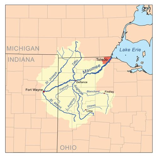
Map of Little Auglaize River, Ohio, USA
It rises in southern Van Wert County, approximately 10 miles (16 km) south of Van Wert. It flows northeast past Middle Point. Near Ottoville in western Putnam County it turns north-northwest for its lower 10 miles (16 km) and joins the Auglaize from the south near Melrose in eastern Paulding County.
References
Little Auglaize River Wikipedia(Text) CC BY-SA