
OS grid reference SO349928 Country England Post town BISHOPS CASTLE Local time Saturday 10:36 AM Civil parish More, Shropshire UK parliament constituency Ludlow | Region West Midlands Sovereign state United Kingdom Postcode district SY9 Dialling code 01588 Ceremonial county Shropshire | |
 | ||
Weather 11°C, Wind W at 27 km/h, 92% Humidity | ||
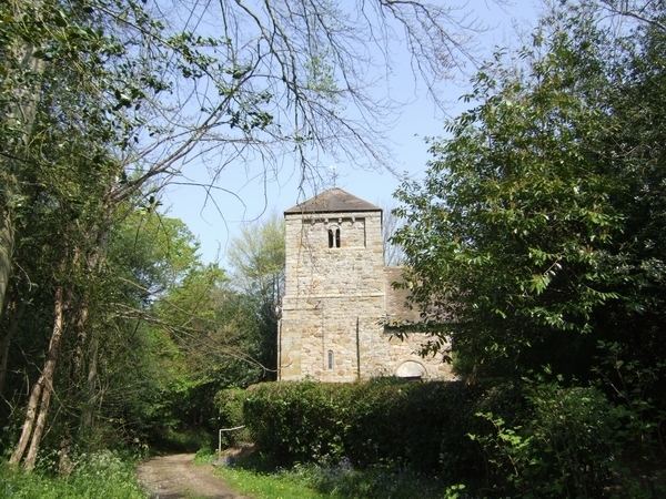
Linley is a hamlet in Shropshire, England. It is part of the civil parish of More.
Contents
Map of Linley, Bishops Castle, UK
The hamlet is located approximately 2 miles (3.2 km) east of the A488 road, and 2 miles north of the village of Lydham, and 3.5 miles north of Bishop's Castle. It is situated near the West Onny river and a local feature is Linley Hall.
Geology
It approximates to the southern extremity of the Pontesford-Linley geological fault, which trends approximately 11 miles (18 km) to Pontesford. On 2 April 1990, the Pontesford-Linley Fault registered an earthquake with a magnitude of 5.1 on the Richter scale, known as the Bishop's Castle earthquake.
References
Linley, Shropshire Wikipedia(Text) CC BY-SA