
- summer (DST) EDT (UTC-4) | Local time Saturday 4:31 AM | |
 | ||
Weather 1°C, Wind W at 0 km/h, 67% Humidity | ||
Linfield is an unincorporated village, part of Limerick Township, Montgomery County, Pennsylvania. It is located approximately 35 miles north-west of Philadelphia, along the Schuylkill River.
Contents
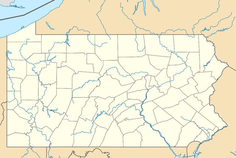
Map of Linfield, PA 19468, USA
Located on the Reading Railroad line to Philadelphia, Linfield was the industrial hub of Limerick Township into the 1960s. Kinseys Distillery, Sanitary Corporation of America and Trinley Mill provided the industrial base for the area.
History
The area called Linfield was originally known as Limerick Station. In 1884 there was an attempt to incorporate the area as a Borough.
The Continental Army marched through Linfield during the Campaign of 1777.
Geography
Linfield is located at 40°12′36″N 75°34′13″W (40.2101520, -75.5701920). The village lies on the northern banks of the Schuylkill River across from Parker Ford.
Politics and government
The village is part of the Seventh Congressional District (represented by Rep. Pat Meehan), the 146th State House District (represented by Rep. Mark Painter) and the 44th State Senate District (represented by Sen. John Rafferty, Jr.).