
Country United States Local time Saturday 2:00 AM | Time zone Eastern (EST) (UTC-5) | |
 | ||
Weather 4°C, Wind SW at 3 km/h, 98% Humidity | ||
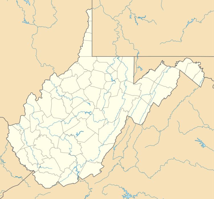
Lindytown is an unincorporated community in Boone County, West Virginia, United States. Lindytown was founded at the time Charles A. Lindbergh made his famous flight across the Atlantic and is based on a 50-acre (200,000 m2) tract of land. Lindytown is approximately 22 miles (35 km) from Madison. Lindytown is accessible from Boone County Route 26, which is located right off of West Virginia Route 85 at the Van Bridge split.
Map of Lindytown, WV 25204, USA
The community has also been known as "Robin Hood" to locals due to the former Armco Robin Hood Division Coal Operations mines which was located in the area. Armco sold the Robinhood Division to Peabody Coal and eventually the mines were closed and the land was reclaimed.
Lindytown has received a lot of media attention due to the town being located in close proximity of a large mountain top removal operation owned by Alpha Natural Resources (previously Massey Energy). Only five houses remain in the community while the rest of the houses and even the church were destroyed by bulldozers.
Lindytown had one church: Twilight Church of Christ which is now destroyed.
Van Elementary School and Van Junior/Senior High School, located 9 miles (14 km) from Bandytown, are the closest public schools.