
Country United States County Ottawa Elevation 393 m Local time Saturday 12:50 AM | State Kansas Time zone CST (UTC-6) Zip code 67467 Area code 785 | |
 | ||
Weather 9°C, Wind NE at 11 km/h, 44% Humidity | ||
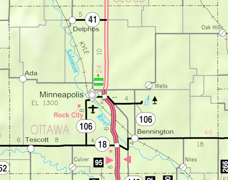
Lindsey is an unincorporated community in Ottawa County, Kansas, United States, less than 1-mile (1.6 km) southeast of Minneapolis, Kansas. A railroad line belonging to Kyle Railroad runs through the center of the townsite. The railroad does not have a siding or stop in Lindsey. Only one road (which is paved with asphalt), North 135th Road, runs through the community. Lindsey consists of about a half dozen residences.
Map of Lindsey, Concord, KS 67467, USA
Lindsey was settled in 1864, shortly after Fort Solomon was constructed a bit less than 0.5-mile (0.80 km) west of the Lindsey townsite. Lindsey was named for Lindsey Creek, about 1-mile (1.6 km) to the north. Lindsey Creek was named after a trapper named Lindsey, who had trapped in the area since 1857. Lindsey was the first county seat of Ottawa County. It was built in close proximity of Fort Solomon, so the town could take advantage of the protection the fort offered.
By the late 1860s the use of Fort Solomon was coming to an end, as problems between the white settlers and the Indians disappeared. In 1871 the fort had only a few cabins left. Lindsey was in decline, too, and was no longer the county seat. In 1879 a visitor said Lindsey had been recently abandoned and was at the time used by persons who had come to the area during the annual corn harvest. Lindsey in fact was not abandoned, but was never anything but a ghost of its former self thereafter. Today Lindsey is little more than a wide spot in the road, consisting of little more than about a half dozen residences and no businesses.