Country Canada Census Division No. 7 Founded 1902 Elevation 890 m Population 828 (2016) Local time Friday 10:37 PM | Time zone MST (UTC-7) Area 256 ha Province Alberta Area code 403 | |
 | ||
Weather 1°C, Wind SE at 10 km/h, 85% Humidity | ||
Linden is a village located in Kneehill County, Alberta, in the central part of the province. It is located 28 km (17 mi) southwest of Three Hills and 26 km (16 mi) north of Beiseker.
Contents
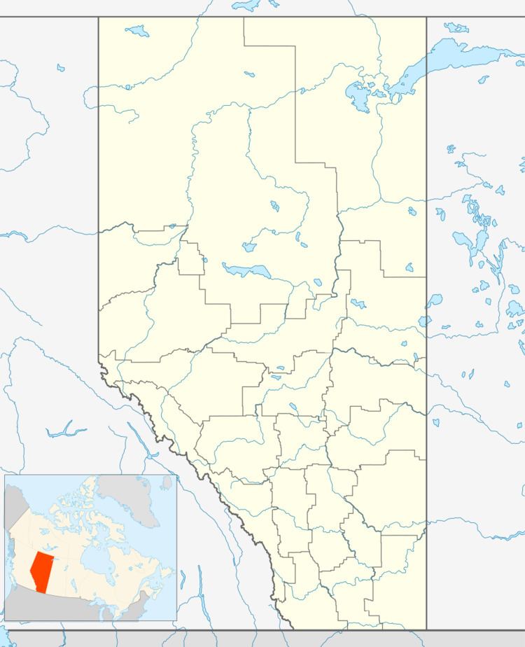
Map of Linden, AB, Canada
The area surrounding the village was originally settled by members of the Mennonite church, and many current residents trace their heritage to this group. The first post office was opened in 1949. Linden was incorporated as a village in 1964.
Demographics
In the 2016 Census of Population conducted by Statistics Canada, the Village of Linden recorded a population of 828 living in 306 of its 331 total private dwellings, a 7001142000000000000♠14.2% change from its 2011 population of 725. With a land area of 2.58 km2 (1.00 sq mi), it had a population density of 320.9/km2 (831.2/sq mi) in 2016.
In the 2011 Census, the Village of Linden had a population of 725 living in 293 of its 315 total dwellings, a 9.8% change from its 2006 population of 660. With a land area of 2.56 km2 (0.99 sq mi), it had a population density of 283.2/km2 (733.5/sq mi) in 2011.
The population of the Village of Linden according to its 2008 municipal census is 741.
In 2006, Linden had a population of 660 living in 324 dwellings, a 3.8% increase from 2001. The village has a land area of 2.56 km2 (0.99 sq mi) and a population density of 257.9 inhabitants per square kilometer.
