
Local time Friday 7:19 PM | ||
 | ||
Weather 26°C, Wind SE at 16 km/h, 46% Humidity University Instituto Tecnológico de Linares | ||
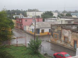
Linares is a small city in the state of Nuevo León, Mexico. The city serves as the administrative centre for the surrounding municipality of the same name and it is the largest urban centre of the so-called "orange belt" region. The city had a 2005 census population of 56,065, while the municipality's population was 71,061. The city and the municipality both rank tenth in population in the state. The municipality has an area of 2,445.2 km² (944.1 sq mi) and lies in the east-southeast part of the state on the border with the state of Tamaulipas. The municipality of Hualahuises is an enclave of Linares municipality.
Contents
Map of Linares, Nuevo Le%C3%B3n, Mexico
It was founded on 2 April 1712 by Sebastián Villegas Cumplido and named in honour of the serving Viceroy of New Spain, Fernando de Alencastre Norona y Silva, Duke of Linares.
Linares has a small industrial park and is well-connected to both Monterrey and the Gulf of Mexico via a modern highway. It is also the main gateway to the South of the State.
The town is also where the legendary norteño band Los Cadetes De Linares originated from in the 1960s.