
Length 17 mi (27 km) NW-SE Topo map USGS Wells Summit Country United States of America | Width 2.2 mi (3.5 km) E-W Elevation 2,233 m | |
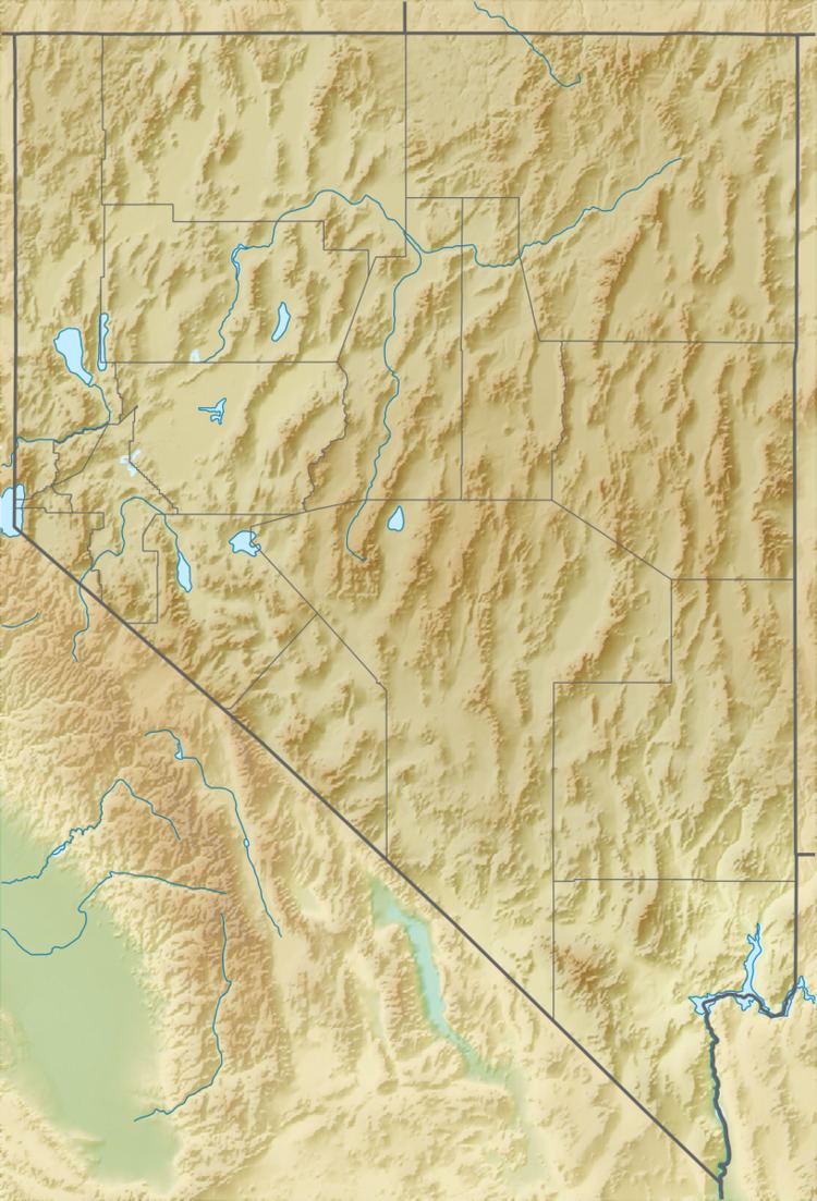 | ||
The Limestone Hills are a group of hills in northeast Lincoln County, Nevada. The hills trend northwest–southeast with a length of about 27 km (17 mi) and width of about 3.5 km (2.2 mi). They lie adjacent to the north end of the Wilson Creek–White Rock ranges and the old mining camp of Atlanta. The Nevada–Utah border is 16.5 km (10.3 mi) across Hamlin Valley to the east. The Snake Range and White Pine County lie 12 km (7.5 mi) to the north. The Fortification Range lies to the northwest.
Map of Limestone Hills, Nevada, USA
References
Limestone Hills Wikipedia(Text) CC BY-SA