
Population 259 (2006 census) County Inglis Postal code 2352 | Postcode(s) 2352 Elevation 477 m Local time Saturday 9:06 AM | |
 | ||
Weather 20°C, Wind SE at 19 km/h, 86% Humidity | ||
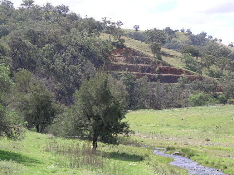
Limbri is a small village on Swamp Oak Creek, about 30 km east northeast of Tamworth and about 8 km east southeast of Moonbi in northern New South Wales, Australia. The population of the Limbri region in 2006 was 259.
Contents
Map of Limbri NSW 2352, Australia
Some alluvial gold was found at Limbri. It is now an agricultural based village, with sheep and cattle breeding the main pursuits.
Limbri public school opened in 1900 to serve the surrounding grazing properties and celebrated its centenary, but it is now closed. The general store that was there has also now closed. The region has the services of Limbri Landcare Group and Limbri/Mulla Creek Rural Fire Service.
Limbri railway station
The station at Limbri on the Main North railway line to Armidale opened in 1885 as Farquarsons Siding. On 14 December 1893 it was renamed Limbri, but it has now been closed for a number of years.