
Population 50 Sovereign state United Kingdom Local time Friday 8:09 PM | OS grid reference ST629128 | |
 | ||
Weather 8°C, Wind SW at 29 km/h, 84% Humidity | ||
Lillington is a hamlet and civil parish in north west Dorset, England, situated 3 miles (4.8 km) south of Sherborne in the West Dorset administrative district. Dorset County Council estimate that the population of the civil parish was 50 in 2013.
Map of Lillington, UK
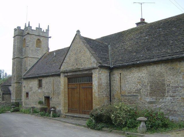
The underlying geology in Lillington is Forest Marble, which has produced soil rich in clay. The parish church is small and has a 13th-century nave. In 1605 Sir Walter Raleigh's second son, Carew, was christened here. The barn next to the church has two porches and seven bays and also dates from the start of the 17th century.
References
Lillington, Dorset Wikipedia(Text) CC BY-SA