Island group Windmill Islands | Population Uninhabited | |
 | ||
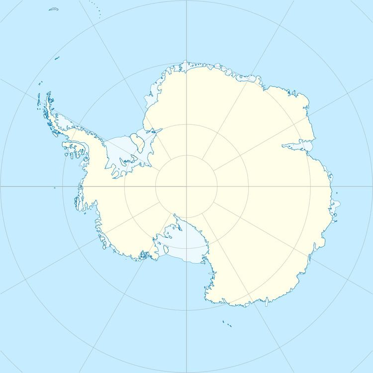
Lilienthal Island is one of the Donovan Islands, lying just north of Glasgal Island in Vincennes Bay, Antarctica. The island was mapped from air photographs taken by U.S. Navy Operation Highjump, 1946–47, and was named by Carl R. Eklund for Billie R. Lilienthal, U.S. Navy, aerographer at Wilkes Station, 1957.
Map of Lilienthal Island, Antarctica
References
Lilienthal Island Wikipedia(Text) CC BY-SA
