
Country United States Time zone CST (UTC-6) Elevation 163 m Local time Friday 1:40 AM | Established November 5, 1867 ZIP codes 62413, 62442, 62449 Area 105.4 km² Population 448 (2010) | |
 | ||
Weather 4°C, Wind SE at 13 km/h, 58% Humidity | ||
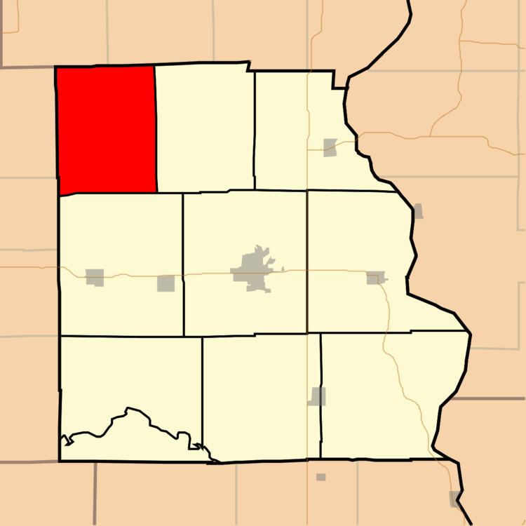
Licking Township is one of ten townships in Crawford County, Illinois, USA. As of the 2010 census, its population was 448 and it contained 167 housing units.
Contents
- Map of Licking Township IL USA
- Geography
- Unincorporated towns
- Cemeteries
- School districts
- Political districts
- References
Map of Licking Township, IL, USA
Geography
According to the 2010 census, the township has a total area of 40.71 square miles (105.4 km2), of which 40.7 square miles (105 km2) (or 99.98%) is land and 0.01 square miles (0.026 km2) (or 0.02%) is water.
Unincorporated towns
(This list is based on USGS data and may include former settlements.)
Cemeteries
The township contains these five cemeteries: Bellair, Duggan, Harmony, Prairie Grove and Randolph.
School districts
Political districts
References
Licking Township, Crawford County, Illinois Wikipedia(Text) CC BY-SA