
Country United States County Lake Time zone CST (UTC-6) Elevation 201 m Population 53,139 (2010) | State Illinois Established November 6, 1849 GNIS feature ID 0429255 Local time Thursday 9:57 PM | |
 | ||
Weather -1°C, Wind SE at 6 km/h, 73% Humidity Area 94.53 km² (91.69 km² Land / 2.849 km² Water) | ||
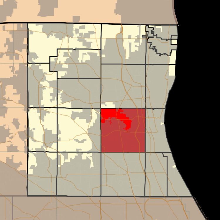
Libertyville Township is a township in Lake County, Illinois, USA. As of the 2010 census, its population was 53,139. The village of Libertyville is part of the township, as are parts of Green Oaks, Lake Bluff, Lake Forest, Mettawa, Mundelein, North Chicago, Rondout, Vernon Hills and Waukegan.
Contents
- Map of Libertyville Township IL USA
- Geography
- Open space
- Cities and towns
- Unincorporated towns
- Adjacent townships
- Cemeteries
- Major highways
- Airports and landing strips
- References
Map of Libertyville Township, IL, USA
Geography
Libertyville Township covers an area of 36.5 square miles (94.6 km2); of this, 1.1 square miles (2.9 km2) or 3.02 percent is water. Lakes in this township include Big Bear Lake, Harvey Lake, Liberty Lake, Little Bear Lake, Minear Lake and West Lake. The stream of Bull Creek runs through this township.
Open space
In 1985, Libertyville Township established the first Township Open Space District in Illinois. This innovative land protection program was funded by a 22.6 million-dollar bond referendum approved by the residents of Libertyville Township. The Open Space Bond was retired fully paid in October 2003. Since land acquisition began in 1986, over 1,500 acres (6.1 km2) of irreplaceable open space have been protected with these funds. Two of these sites, Oak Openings and Liberty Prairie, have also received the state's highest protection status as Illinois Nature Preserves.
Cities and towns
Unincorporated towns
Adjacent townships
Cemeteries
The township contains three cemeteries: Ascension, Lake County Poor Farm and Lakeside.