
Country United States County Maricopa FIPS code 04-40910 Elevation 267 m | State Arizona Time zone Mountain (MST) (UTC-7) GNIS feature ID 6992 Local time Thursday 7:51 PM | |
 | ||
Weather 27°C, Wind N at 6 km/h, 23% Humidity | ||
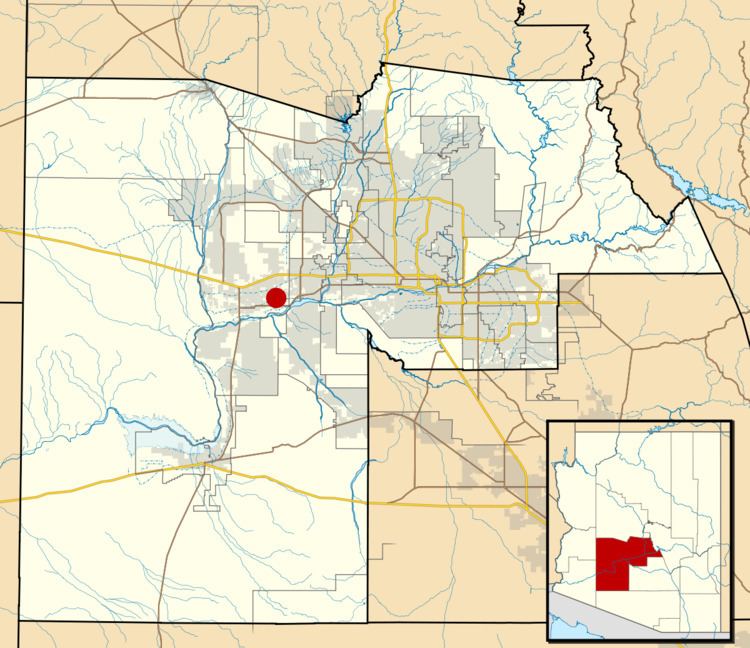
Liberty is a small Populated place in Maricopa County, Arizona, United States. It is located about 30 miles (50 kilometers) west of Phoenix and about 6 miles (10 kilometers) southeast of Buckeye. Liberty is located at the intersection of South Jackrabbit Trail and West Baseline Road. It is located entirely within Block 3017, Block Group 3, Census Tract 506.01, Maricopa County, Arizona, which had a population of 63 at the 2000 census.
Map of Liberty, AZ 85326, USA
The original settlers named the location Altamount, the settlement soon became called Toothaker Place, after the first postmaster, Harriet Toothaker, who ran the post office out of her home. When the post office was relocated in 1901, it was renamed Liberty, and with it the community.
Liberty is home to the Liberty Elementary School District headquarters, although the district itself has expanded out to include much of the surrounding areas of Buckeye and Goodyear.
Liberty exists as a county island within the corporate boundaries of Buckeye. This precludes any possibility of incorporation for the community.