
Country China Area 4,318 km² Population 42,494 (1999) Points of interest Bipeng Valley | Time zone China Standard (UTC+8) Local time Friday 4:08 AM | |
 | ||
Weather -2°C, Wind W at 5 km/h, 50% Humidity | ||
Li County or Lixian (Chinese 理县; pinyin: Lǐ Xiàn) is a county in Ngawa Tibetan and Qiang Autonomous Prefecture, Sichuan, China. China National Highway G317 and the Zagunao River run through the whole territory.
Contents
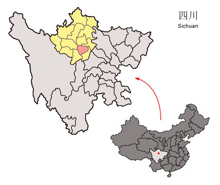
Map of Lixian, Aba, Sichuan, China
On May 12, 2008, the area was affected by the 2008 Sichuan earthquake.
Transport
Geography
Li County is located from 30°54′43″N 102°32′46″E (30.911944°, 102.546111°) to 31°12′12″N 103°30′30″E (31.203333°, 103.508333°).
Demographics
The county had a population of 42,494 in 1999.
References
Li County, Sichuan Wikipedia(Text) CC BY-SA