
Country Czech Republic District Plzeň-City Elevation 445 m Local time Thursday 9:04 PM | Region Plzeň Postal code 332 01 Area 3.41 km² Population 163 (2006) | |
 | ||
Weather 7°C, Wind SW at 5 km/h, 50% Humidity | ||
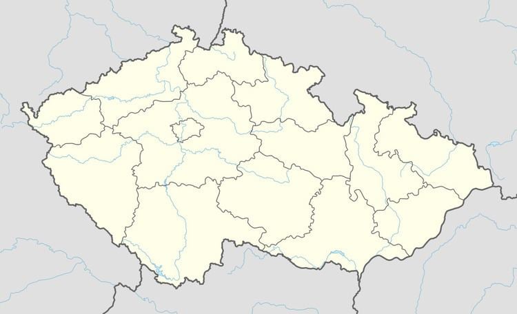
Lhůta is a village and municipality (obec) in Plzeň-City District in the Plzeň Region of the Czech Republic.
Map of 332 01 Lh%C5%AFta, Czechia
The municipality covers an area of 3.41 square kilometres (1.32 sq mi), and has a population of 163 (as at 3 July 2006).
Lhůta lies approximately 13 kilometres (8 mi) south-east of Plzeň and 78 km (48 mi) south-west of Prague.
References
Lhůta (Plzeň-City District) Wikipedia(Text) CC BY-SA