
Time zone MST (UTC-7) | Elevation 5,029 ft (1,533 m) Population 29 (2010) | |
 | ||
Area 52 ha (52 ha Land / 10 ha Water) | ||
Leyner is a census-designated place (CDP) in Boulder County, Colorado, United States. The population as of the 2010 Census was 29.
Contents
Map of Leyner, CO 80026, USA
Geography
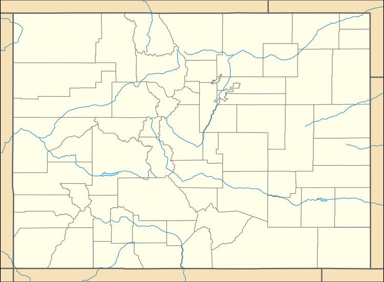
Leyner is located in eastern Boulder County along the west side of U.S. Route 287, 4 miles (6 km) north of Lafayette. Boulder Creek forms the northern edge of the CDP.
According to the U.S. Census Bureau, the Leyner CDP has an area of 0.19 square miles (0.5 km2), of which 0.039 square miles (0.1 km2), or 21.66%, is water.
References
Leyner, Colorado Wikipedia(Text) CC BY-SA