
Country United States County Cook GNIS feature ID 0429252 Local time Thursday 1:17 PM University Triton College | State Illinois Time zone CST (UTC-6) Elevation 196 m Population 92,890 (2010) | |
 | ||
ZIP codes 60018, 60068, 60131, 60160, 60164, 60171, 60176, 60656, 60706, 60707 Weather 2°C, Wind SW at 10 km/h, 35% Humidity | ||
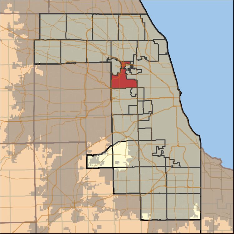
Leyden Township is one of 29 townships in Cook County, Illinois, USA. As of the 2010 census, its population was 92,890.
Contents
- Map of Leyden Township IL USA
- Geography
- Cities towns villages
- Adjacent townships
- Cemeteries
- Major highways
- Landmarks
- Political districts
- References
Map of Leyden Township, IL, USA
Geography
Leyden Township is located just northwest of the city of Chicago, an edge of which lies within the township but as a separate entity. According to the United States Census Bureau, the township covers an area of 19.84 square miles (51.4 km2).
Cities, towns, villages
Adjacent townships
Cemeteries
The township contains these five cemeteries: Eden Memorial Park, Elmwood, Fairview Memorial, Memorial Estates and Saint Joseph.
Major highways
Landmarks
Political districts
References
Leyden Township, Cook County, Illinois Wikipedia(Text) CC BY-SA