
Population 950 (2011 census) Local time Thursday 7:27 PM | Postcode(s) 3332 State electorate(s) Buninyong Postal code 3332 | |
 | ||
Location 97 km (60 mi) W of Melbourne31 km (19 mi) N of Geelong59 km (37 mi) SE of Ballarat17 km (11 mi) S of Meredith11 km (7 mi) N of Bannockburn Weather 19°C, Wind SW at 18 km/h, 50% Humidity | ||
Lethbridge is a rural township outside Geelong, Victoria, Australia. Bluestone from Lethbridge quarries was used to build several significant buildings in Melbourne, including the steps to the Parliament House. At the 2011 census, Lethbridge had a population of 950.
Map of Lethbridge VIC 3332, Australia
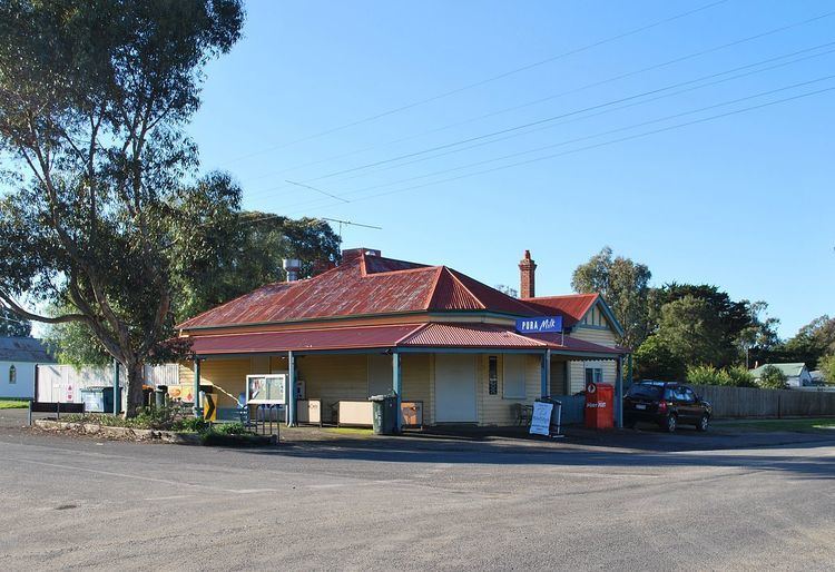
Lethbridge Post Office opened on 10 September 1857 and closed in 1980.
The community of Lethbridge has a range of facilities and services including:
The railway came to the town with the opening of the Geelong-Ballarat line in 1862, with the local railway station opened soon after, but today only grain and fruit trains use the line.
Moranghurk, a Lethbridge homestead dating from approximately the 1840s, located on the Midland Highway, is listed on the Victorian Heritage Register.
Peter Lalor, the leader of the Eureka Stockade rebellion, hid overnight in Lethbridge while fleeing from Ballarat to Geelong in November 1854.
George Elmslie, first Labor Premier of Victoria, was born in Lethbridge in 1861.