
Time zone CET (UTC+1) Area 14.86 km² Local time Thursday 12:10 AM | Region Normandy INSEE/Postal code 76390 /76790 Population 1,036 (1999) | |
 | ||
Weather 8°C, Wind NE at 8 km/h, 94% Humidity | ||
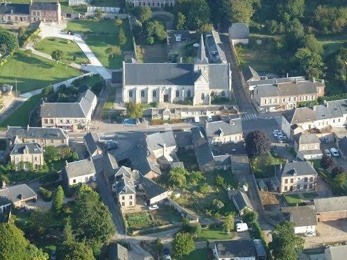
Les Loges is a commune in the Seine-Maritime department in the Haute-Normandie region in northern France.
Contents
Map of 76790 Les Loges, France
Geography
A farming village in the Pays de Caux, some 13 miles (21 km) north of Le Havre, at the junction of the D72, D74 and D940 roads.
History
The name of the commune comes from the French word loge, meaning a cabin or shelter, or more usually in English, a hunting-lodge.
The village is located almost at the end of the old Roman road linking Lillebonne with Étretat.
William the Conqueror’s granddaughter, the Empress Matilda gave this area to a Nicolas Estouteville in the twelfth century, to thank him for his support and loyalty. The seigneurie belonged to the family of Estouteville for eight centuries.
At the end of the nineteenth century, the Grimaldi family (of Monaco), who also bear the name of Estouteville, used the manorhouse as a residence resort.