
Country Samoa Time zone -11 | District Atua Local time Thursday 6:19 AM | |
 | ||
Weather 24°C, Wind E at 0 km/h, 94% Humidity | ||
Lepa is a small village at the southeastern end of Upolu island in Samoa. The village has a population of 170 (2006 Census). It is also the name of an electoral faipule district, Lepa Electoral Constituency, which consists of 6 villages, including Lepa village, with a total population of 1,429. (2006 Census).
Contents
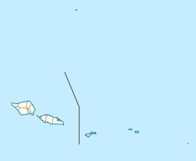
Map of Lepa, Samoa
The village and Lepa Electoral Constituency are part of the larger political district of Atua.
Lepa Electoral Constituency
The six villages within Lepa Electoral Constituency includes the settlements of A'ufaga, Lealatele and Saleapaga.
Lepa is the birthplace of Samoan Prime Minister Tuilaepa Aiono Sailele Malielegaoi.
The Lepa area was extensively damaged in the 2009 Samoa earthquake and tsunami. Most of Lepa village was destroyed, leaving just the church and the village's welcome sign standing.