
Length 128 km Source elevation 819 m Bridges Lennetal bridge | Basin size 1,353 km (522 sq mi) Discharge 25 m³/s | |
 | ||
Main source Sauerland819 m (2,687 ft) | ||
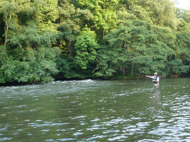
The Lenne River is a tributary of the Ruhr River, and has caused flooding in recent years.
Map of Lenne, Germany
Having its source on top of the Kahler Asten near Winterberg in an intermittent spring at an elevation of 2,687 feet, the Lenne ends after a course of 128 km flowing into the Ruhr river near the city of Hagen. With an average discharge of 25 m³/s near its mouth, it is the main tributary of the Ruhr.
References
Lenne Wikipedia(Text) CC BY-SA