
Elevation 202 m (663 ft) Time zone CET (UTC+1) Dialling code 090 | Frazioni Rinella, Valdichiesa Demonym(s) Lenesi Area 8.6 km² Local time Wednesday 12:19 PM Postal code 98050 | |
 | ||
Weather 12°C, Wind NW at 8 km/h, 67% Humidity | ||
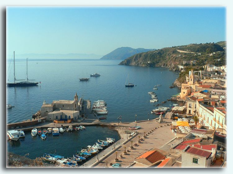
Leni is a comune (municipality) and one of the main towns on Salina, one of the Aeolian Islands. It is situated in the Province of Messina in the Italian region Sicily, located about 140 kilometres (87 mi) northeast of Palermo and about 70 kilometres (43 mi) northwest of Messina. As of 31 December 2004, it had a population of 654 and an area of 8.6 square kilometres (3.3 sq mi).
Map of 98050 Leni Province of Messina, Italy
Leni lies on the slope of the hill on the south of the island, 200 metres (660 ft) above the sea, between the volcanoes of Monte Fossa and Monte dei Porri.
The municipality of Leni contains the frazioni (subdivisions, mainly villages and hamlets) Rinella, at the coast to the south, and Valdichiesa, in the centre of the island, to the north of Leni.
Leni borders the following municipalities: Malfa, Santa Marina Salina.