
Country United States ZIP codes 69146 Elevation 1,016 m Local time Wednesday 3:45 AM | Time zone Central (CST) (UTC-6) GNIS feature ID 830676 Zip code 69146 | |
 | ||
Weather -1°C, Wind SE at 6 km/h, 71% Humidity | ||
Lemoyne is an unincorporated community and census-designated place in northern Keith County, Nebraska, United States. It lies along Nebraska Highway 92 on the northern shore of Lake C.W. McConaughy, north of the city of Ogallala, the county seat of Keith County. Its elevation is 3,333 feet (1,016 m). Although Lemoyne is unincorporated, it has a post office, with the ZIP code of 69146.
Contents
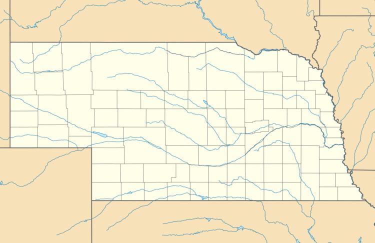
Map of Lemoyne, NE, USA
History
Lemoyne had its start by the building of the Union Pacific Railroad through that territory. It was named for Lemoyne Jacobs, the original owner of the town site.
References
Lemoyne, Nebraska Wikipedia(Text) CC BY-SA