
Population 385 (2011 census) Time zone AEST (UTC+10) | Postcode(s) 2259 Postal code 2259 | |
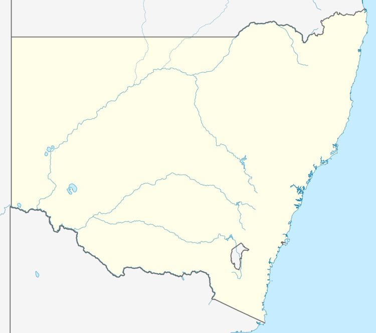 | ||
Location 108 km (67 mi) N of Sydney20 km (12 mi) NW of Wyong | ||
Lemon Tree is a rural suburb of the Central Coast Council local government area in the Central Coast region of New South Wales, Australia. At the 2011 census, Lemon Tree, along with the adjacent suburbs of Durren Durren and Dooralong, had a combined population of 385.
Map of Lemon Tree NSW 2259, Australia
References
Lemon Tree, New South Wales Wikipedia(Text) CC BY-SA