
OS grid reference TA209325 Sovereign state United Kingdom Postcode district HU12 Dialling code 01482 | Post town HULL Local time Wednesday 8:25 AM | |
 | ||
Weather 8°C, Wind SW at 11 km/h, 78% Humidity | ||
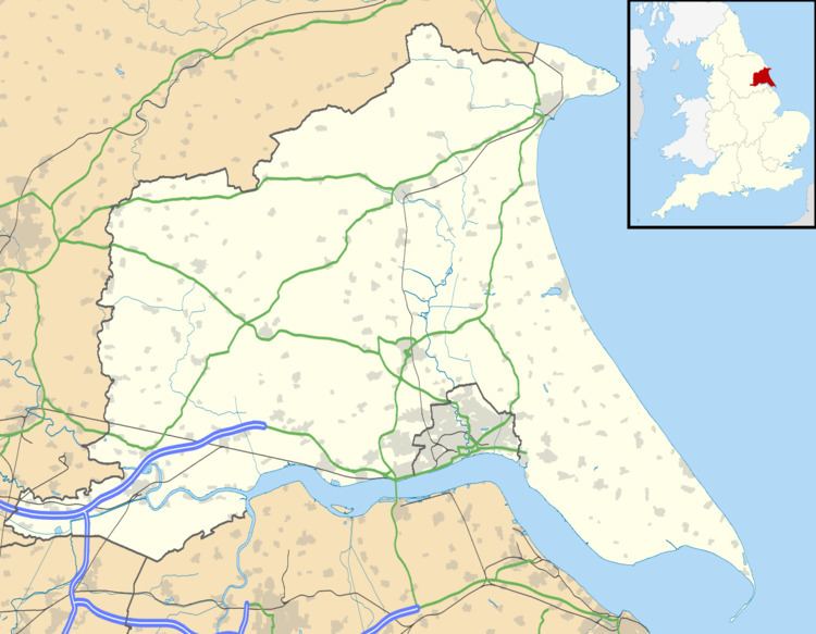
Lelley is a small village in the East Riding of Yorkshire, England, in an area known as Holderness. It is situated approximately 7 miles (11 km) north-east of Hull city centre and 3 miles (5 km) north of Hedon.
Map of Lelley, Hull, UK
The village forms part of the civil parish of Elstronwick.
Lelley comes from the word 'Lelle' which means 'clearing in the woods'.
The village contains a public house, two benches (one a war memorial and the other a millennium bench) and a telephone box.
Lelley Wesleyan Methodist Church was demolished in the late 19th century.
In 1823 Lelly was in the parish of Preston and the Wapentake and Liberty of Holderness. Population was 119, which included a carrier who operated between the village and Hull once a week.
References
Lelley Wikipedia(Text) CC BY-SA