
Country United States FIPS code 20-39250 Elevation 476 m Population 329 (2010) Area code 620 | State Kansas Time zone CST (UTC-06:00) GNIS feature ID 477225 Area 93.2 km² Local time Tuesday 11:03 PM | |
 | ||
Weather -3°C, Wind E at 13 km/h, 76% Humidity | ||
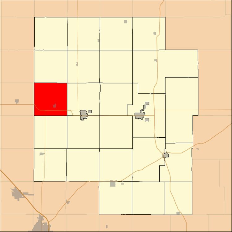
Lehigh Township is a township in Marion County, Kansas, United States. As of the 2010 census, the township population was 329, including the city of Lehigh.
Contents
Map of Lehigh, KS, USA
Geography
Lehigh Township covers an area of 36 square miles (93.2 km2).
Cities and towns
The township contains the following settlements:
Cemeteries
The township contains the following cemeteries:
Transportation
K-15 and U.S. Route 56 highways pass through the township.
References
Lehigh Township, Marion County, Kansas Wikipedia(Text) CC BY-SA