
NRHP Reference # 75000634 | Architectural style Rocky Mountain Local time Tuesday 4:18 PM Added to NRHP 4 April 1975 | |
 | ||
Weather 12°C, Wind SW at 18 km/h, 43% Humidity | ||
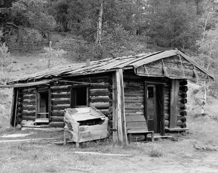
Leesburg is an unincorporated community in Lemhi County, Idaho, United States. It lies at 45°13′26″N 114°6′50″W (45.2238080, -114.1139647), along Napias Creek in the Salmon National Forest, west of Salmon. Its altitude is 6,653 feet (2,028 m). The community possessed a post office as late as 1942, but it has since closed. The entire community has been listed on the National Register of Historic Places since 1975.
Contents
Map of Leesburg, ID 83469, USA
History
Leesburg was established after gold was discovered at the Leesburg Mine on July 16, 1866. The mining town was named for General Robert E. Lee because most of the settlers were Southerners. It once had a population of 7,000, including Chinese; 100 business firms; and a main street a mile long. Miners dug over 400 miles of ditches to carry water to sluice out gold. By 1930 placer mining was carried on nearly entirely by hydraulic methods. The mine produced nearly $16,000,000 in gold prior to 1938.