
Country United States ZIP codes 50006, 50071, 50126 Elevation 366 m Local time Tuesday 3:38 PM | Time zone CST (UTC-6) GNIS feature ID 0468199 Area 93.85 km² Population 179 (2010) | |
 | ||
Weather -5°C, Wind N at 10 km/h, 58% Humidity | ||
Lee Township is one of sixteen townships in Franklin County, Iowa, United States. As of the 2010 census, its population was 179 and it contained 80 housing units.
Contents
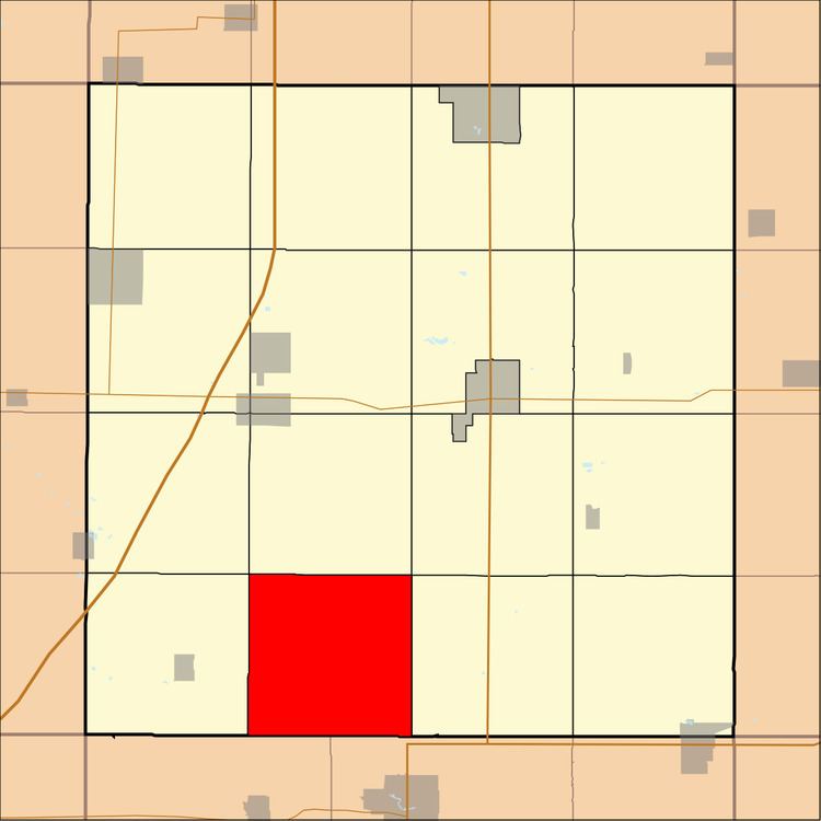
Map of Lee, IA, USA
History
Lee Township was created in 1870. First called Iowa Township, it was soon renamed in honor of William H. Lee, a pioneer settler.
Geography
As of the 2010 census, Lee Township covered an area of 36.24 square miles (93.9 km2), all land.
Unincorporated towns
(This list is based on USGS data and may include former settlements.)
School districts
Political districts
References
Lee Township, Franklin County, Iowa Wikipedia(Text) CC BY-SA