
Time zone CST (UTC-6) Elevation 494 m Local time Tuesday 3:52 PM Area code 479 | Established 1880 GNIS feature ID 69793 Area 85.7 km² Population 640 (2000) | |
 | ||
Weather 2°C, Wind N at 10 km/h, 68% Humidity | ||
Lee's Creek Township is one of thirty-seven townships in Washington County, Arkansas, USA. As of the 2000 census, its total population was 640.
Contents
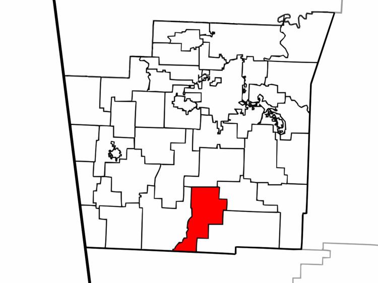
Map of Lees Creek Township, AR, USA
Geography
According to the United States Census Bureau, Johnson Township covers an area of 33.1 square miles (86 km2), all land. Devil's Den State Park makes up the southern tip of the township. The township was created from parts of Cove Creek Township and Crawford Township in 1880.
Cities, towns, villages
Cemeteries
The township contains Blackburn Cemetery.
Major routes
References
Lee's Creek Township, Washington County, Arkansas Wikipedia(Text) CC BY-SA