
Country United States GNIS feature ID 1094549 Zip code 73440 Local time Tuesday 9:53 AM | Time zone Central (CST) (UTC-6) Elevation 206 m Population 327 (2000) Area code 580 | |
 | ||
Weather 3°C, Wind NE at 8 km/h, 74% Humidity | ||
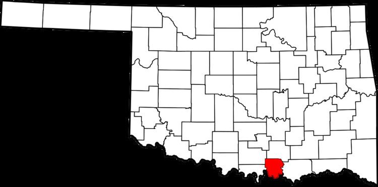
Lebanon is census-designated place (CDP) and unincorporated community in Marshall County, Oklahoma, United States. Although it is unincorporated, it has a post office, with the ZIP code of 73440.
Contents
Map of Lebanon, OK 73446, USA
History
Lebanon was settled in the late 19th century as part of the Chickasaw Indian Nation and was part of Pickens County. A Chickasaw Tribal Courthouse was located in Lebanon. About a mile to the east of Hauani Creek is the remains of the Burney School, a tribal school operated by the Chickasaws.
Geography
Lebanon is located on the western end of Lake Texoma, near where the Red River and Hauani Creek enters the lake at 33°58′56″N 96°54′27″W (33.982222, -96.9075).
Demographics
As of the census of 2000, the population of the ZCTA for ZIP Code 73440 was 327.
Economy
Lebanon is primarily a farming area. There are two convenience stores and gas station, and a few other small businesses.
Transportation
Lebanon is served by State Highway 32 and other local roads.