
Country United States County Brown ZIP code 56087 Elevation 304 m | State Minnesota Time zone Central (CST) (UTC-6) Area code(s) 507 Local time Tuesday 8:28 AM | |
 | ||
Weather -17°C, Wind N at 3 km/h, 79% Humidity | ||
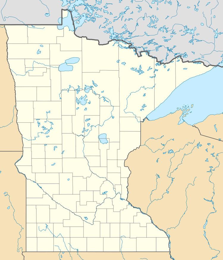
Leavenworth is an unincorporated community (Class Code U6) located in Brown County, Minnesota at latitude 44.222 and longitude -94.802 (Leavenworth Panoramio Photos). The elevation is 997 feet. Leavenworth appears on the Leavenworth U.S. Geological Survey Map.
Contents
Map of Leavenworth, MN 56085, USA
History
Leavenworth was platted in 1857. It was probably named for Henry Leavenworth. A post office was established at Leavenworth in 1858, and remained in operation until it was discontinued in 1902.
References
Leavenworth, Minnesota Wikipedia(Text) CC BY-SA