
Population 1,584 (2011) Sovereign state United Kingdom Local time Tuesday 12:38 PM | OS grid reference TF059485 | |
 | ||
Weather 15°C, Wind W at 31 km/h, 68% Humidity UK parliament constituency Sleaford and North Hykeham | ||
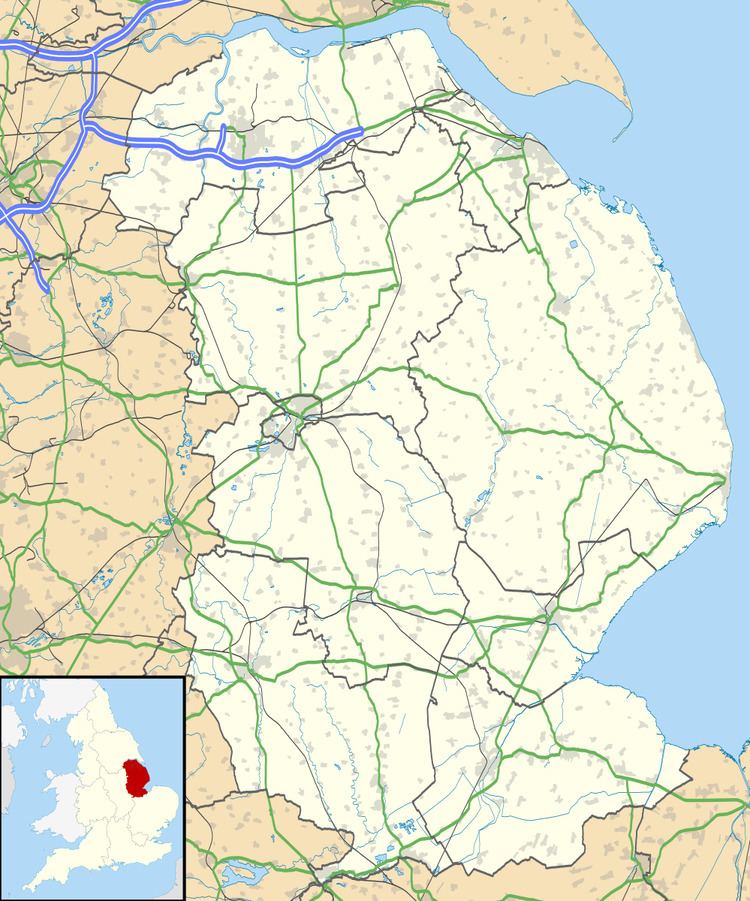
Leasingham is a village and civil parish in the North Kesteven district of Lincolnshire, England. It is situated less than 2 miles (3 km) north from Sleaford, and just off the A15. The hamlet of Roxholm lies to the north. The village has 713 households. The population of the civil parish at the 2011 census was 1,584.
Map of Leasingham, Sleaford, UK
The B1209 passes through the village to join the A153 further east, passing across Leasingham Moor. Close by to the west is RAF Cranwell. The A15 used to run through the village on Captain's Hill until the 1950s.
Captain's Hill takes its name from the local landowner, Captain Richard Wharton-Myddleton, who had been an ensign at the battle of Waterloo. He lived in Leasingham Hall (built about 1836) now a Grade II listed house.
Other buildings in the village include the church of St Andrews, a Wesleyan chapel, manor house, village hall and a row of alms houses. The local school is St Andrew's primary school. The playing fields include a bowls club and cricket pitch and pre-school.
Amenities include the Duke of Wellington public house, Busy Bees Pre-school, a post office-cum-shop, corner shop, farm shop, and two hairdressers.
A local bus service runs every hour to Sleaford, with links to Lincoln, Grantham, Nottingham and Skegness.