
Country United States FIPS code 29-41114 Elevation 313 m Zip code 65535 Local time Tuesday 7:33 AM | Time zone Central (CST) (UTC-6) GNIS feature ID 0750670 Area 111 ha Population 331 (2013) Area code 573 | |
 | ||
Weather -2°C, Wind N at 14 km/h, 79% Humidity | ||
Leasburg is a village in Crawford County, Missouri, United States. The population was 338 at the 2010 census.
Contents
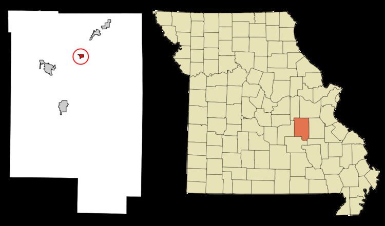
Map of Leasburg, MO 65535, USA
History
Leasburg was laid out in 1859, and named after Samuel Lea, a pioneer settler. An early variant name was Harrison Station. A post office called Leasburg has been in operation since 1860.
The Scotia Iron Furnace Stack was listed on the National Register of Historic Places in 1969.
Geography
Leasburg is located at 38°5′34″N 91°17′49″W (38.092657, -91.297002).
According to the United States Census Bureau, the village has a total area of 0.43 square miles (1.11 km2), all of it land.
2010 census
As of the census of 2010, there were 338 people, 144 households, and 80 families residing in the village. The population density was 786.0 inhabitants per square mile (303.5/km2). There were 155 housing units at an average density of 360.5 per square mile (139.2/km2). The racial makeup of the village was 98.52% White, 0.30% Native American, 0.30% Native Hawaiian or Pacific Islander, and 0.89% from two or more races.
There were 144 households of which 31.9% had children under the age of 18 living with them, 40.3% were married couples living together, 11.1% had a female householder with no husband present, 4.2% had a male householder with no wife present, and 44.4% were non-families. 41.7% of all households were made up of individuals and 19.4% had someone living alone who was 65 years of age or older. The average household size was 2.35 and the average family size was 3.26.
The median age in the village was 37.2 years. 27.5% of residents were under the age of 18; 7.9% were between the ages of 18 and 24; 24.3% were from 25 to 44; 25.7% were from 45 to 64; and 14.5% were 65 years of age or older. The gender makeup of the village was 49.7% male and 50.3% female.
2000 census
As of the census of 2000, there were 323 people, 144 households, and 88 families residing in the village. The population density was 750.2 people per square mile (290.0/km²). There were 162 housing units at an average density of 376.3 per square mile (145.5/km²). The racial makeup of the village was 98.45% White, 0.62% from other races, and 0.93% from two or more races. Hispanic or Latino of any race were 0.62% of the population.
There were 144 households out of which 27.8% had children under the age of 18 living with them, 48.6% were married couples living together, 7.6% had a female householder with no husband present, and 38.2% were non-families. 35.4% of all households were made up of individuals and 16.0% had someone living alone who was 65 years of age or older. The average household size was 2.24 and the average family size was 2.83.
In the village, the population was spread out with 24.1% under the age of 18, 8.0% from 18 to 24, 26.3% from 25 to 44, 22.3% from 45 to 64, and 19.2% who were 65 years of age or older. The median age was 38 years. For every 100 females there were 94.6 males. For every 100 females age 18 and over, there were 91.4 males.
The median income for a household in the village was $19,750, and the median income for a family was $29,250. Males had a median income of $27,188 versus $11,875 for females. The per capita income for the village was $11,878. About 14.6% of families and 21.0% of the population were below the poverty line, including 29.1% of those under age 18 and 17.2% of those age 65 or over.