
Country United States Elevation 307 m Local time Tuesday 1:00 AM | GNIS feature ID 0478092 Area 54.59 km² Population 669 (2000) | |
 | ||
Weather -3°C, Wind N at 14 km/h, 78% Humidity | ||
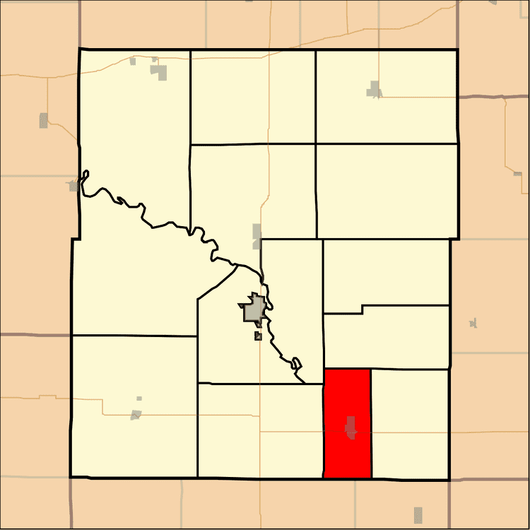
Le Roy Township is a township in Coffey County, Kansas, United States. As of the 2000 census, its population was 669.
Contents
Map of Leroy, KS, USA
Geography
Le Roy Township covers an area of 21.08 square miles (54.6 km2) and contains one incorporated settlement, Le Roy. According to the USGS, it contains one cemetery, Le Roy.
The streams of Crooked Creek and Duck Creek run through this township.
Transportation
Le Roy Township contains one airport or landing strip, Leroy Airport.
References
Le Roy Township, Coffey County, Kansas Wikipedia(Text) CC BY-SA