
Area 19.98 km² | Intercommunality Cœur du Pays Fort Local time Tuesday 6:01 AM | |
 | ||
Weather 4°C, Wind W at 6 km/h, 95% Humidity | ||
Le Noyer is a commune in the Cher department in the Centre region of France.
Contents
Map of 18260 Le Noyer, France
Geography
An area of forestry and farming comprising the village and a couple of hamlets situated in the valley of the Sauldre river, some 27 miles (43 km) northeast of Bourges, at the junction of the D55, D85, D94 and the D74 roads.
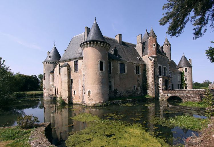
Sights
References
Le Noyer, Cher Wikipedia(Text) CC BY-SA