
Postcode(s) 2460 Postal code 2460 | Local time Tuesday 9:45 AM | |
 | ||
Weather 21°C, Wind S at 6 km/h, 99% Humidity | ||
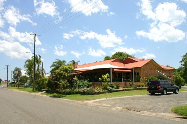
Lawrence is a small town 13 km from Maclean, New South Wales, Australia. It is accessed by the Lawrence car ferry from Woodford Island or by travelling 30 kilometres north from Grafton. At the 2006 census, Lawrence had a population of 390 people. Lawrence has a number of sporting facilities including, a cricket field and soccer fields, a nine-hole golf course and tennis courts. Lawrence has a public school, a general store, post office, police station, Tavern and a local school and route bus service. It also has a museum (Lawrence Museum) housed in the old radio station building as well as very well preserved Public Hall of timber construction dating from 1892. The town is in the Clarence Valley Council local government area.
Map of Lawrence NSW 2460, Australia
References
Lawrence, New South Wales Wikipedia(Text) CC BY-SA