
Population 4,302 (2011) Sovereign state United Kingdom Local time Monday 9:28 PM District Tendring | OS grid reference TM092310 Dialling code 01206 | |
 | ||
Weather 10°C, Wind SW at 8 km/h, 75% Humidity | ||
Lawford is a large village and civil parish in the Tendring district of northeast Essex, England. It is approximately 6 miles (10 km) northeast from the centre of Colchester and west of, and contiguous with, Manningtree. Mistley merges with the east side of Manningtree.
Map of Lawford, UK
The Leftley Housing estate, situated towards the east of the village, is a typical 1960s development of mainly semi-detached houses and bungalows.
The area includes a number of smallholdings originally built by the Land Settlement Association.
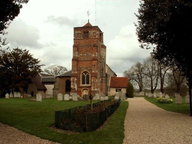
The 14th-century parish Church of St Mary is a Grade I listed building.
References
Lawford Wikipedia(Text) CC BY-SA