
Population 1,656. 2011 Census Civil parish Lavant Area 16.53 km² | OS grid reference SU857087 Sovereign state United Kingdom Local time Monday 6:21 PM | |
 | ||
Weather 11°C, Wind W at 13 km/h, 72% Humidity | ||
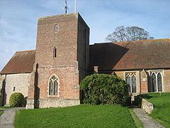
Lavant is a civil parish in the Chichester district of West Sussex, England, just north of Chichester. It is made up of three villages, Mid Lavant and East Lavant together with the much smaller West Lavant, and takes its name from the River Lavant which flows from East Dean. East Lavant has a collection of historic cottages and a public house. The manor appears in Domesday as Loventone.
Contents
Map of Lavant, UK
The A286 road between Chichester and Midhurst runs through the parish.
The villages were served by a station on the railway line that ran between Chichester and Midhurst, but this closed in stages between 1931 and 1991.
Landmarks
Kingley Vale lies on the border of the parish which is a Site of Special Scientific Interest and a national nature reserve. It is noted for its Yew woodlands. The site is also known for its archaeological interest including Bronze Age and Roman earthworks, cross dykes, a camp and a field system.
Governance
An electoral ward in the same name exists. This ward includes Westhampnett with a total ward population taken at the 2011 census of 2,365.