
Country East Timor Capital Lospalos | Area 1,813 km2 | |
 | ||
Rangierarbeiten mit lautem knall
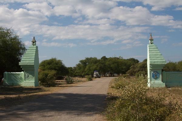
Lautém (Tetum: Lautein) is one of the districts of East Timor, on the eastern end of the island of Timor. It has a population of 64,135 (census 2010) and an area of 1,813 km². Its capital is Lospalos, which lies 248 km east of the national capital, Dili. The subdistricts are Iliomar, Lautém, Lospalos, Luro, and Tutuala.
Contents
- Rangierarbeiten mit lautem knall
- Map of Lautm District
- Luisa de jesus tutuala lautem timor leste
- References
Map of Lautém-District
To the west the district borders the districts of Baucau and Viqueque. To the north lies the Banda Sea, and to the south the Timor Sea. The district also includes the easternmost point of the island, Kap Cutcha in the subdistrict of Tutuala, and the small island Jaco.
The district of Lautém is identical to what was the council of the same name in Portuguese Timor. At that time, many of the localities had Portuguese names, such as Vila Nova de Malaca (today Lautém), Nova Nazaré (Com), Nova Sagres (Tutuala) and Nova Âncora (Laivai).
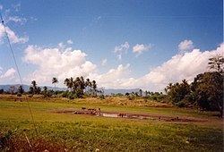
Lautém has beautiful sand beaches and a wild, mountainous, and raw rugged unspoilt landscape. Many of the endemic birds of East Timor live here. Near the city of Lautém there are cave drawings. Numerous stone sarcophagi and animistic shrines are found throughout the district.
In addition to the official languages of Portuguese and Tetum, in the district there are 30,000 speakers of the Papuan language Fataluku, mainly in the east of the district, many of whom do not speak a second language.
Lautém District is known for its birding (birds of East Timor).