
 | ||
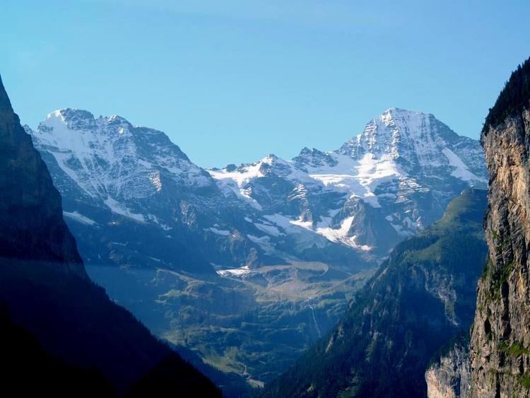
The Lauterbrunnen Wall is a term used in the English-speaking mountaineering world to refer to a north-west-facing mountain wall in the Bernese Alps in Switzerland. It runs for 8 kilometres from the Gletscherhorn (3,983 m) in the east, through the Ebnefluh, (3,962 m), the Mittaghorn (3,897m) and the Grosshorn (3,754 m), to the Breithorn (3,785 m) in the west, where the wall comes to an end at the col which separates it from the Tschingelhorn. The Wall is named after the village of Lauterbrunnen, which lies to the north.
The Wall has been a popular venue for ice-climbing since the 1930s, when it was tackled by Feuz, von Allmen and Welzenbach. Many of the routes are less frequently attempted today, because of relatively difficult access (in the context of the Alps) and objective danger.
On 12 April 2007 a Luftwaffe Tornado stationed in Lechfeld, Bavaria and flying by sight rather than by instrument, crashed high into the Wall between the Mittaghorn and the Ebnefluh. The jet was "practically pulverized" and the pilot was killed on impact; his weapon systems officer, who ejected, was rescued by the mountain rescue services.