
Population 2,752 (2001 census) Sovereign state United Kingdom Local time Monday 5:01 PM | OS grid reference NS910794 Post town FALKIRK Dialling code 01324 | |
 | ||
Weather 11°C, Wind W at 27 km/h, 63% Humidity | ||
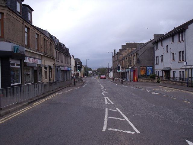
Laurieston is a village in the Falkirk council area in Central Scotland. It is 1.5 miles (2.4 km) east Falkirk, 1.6 miles (2.6 km) south-west of Grangemouth and 1.6 miles (2.6 km) west of Polmont.
Contents
Map of Laurieston, Falkirk, UK
Laurieston is located on the A803 road between Falkirk and Polmont. At the time of the 2001 census, Laurieston had a population of 2,752 residents, down from 3,000 in 1991 and 3,300 in 1971.
The course of the Antonine Wall runs through the village.
History
Situated on the main street is Hawthorn Cottage, a nineteenth-century stone dwelling that was once owned by Alfred Nobel, inventor of dynamite and creator of the Nobel Prizes after his death. Nobel lived there while managing an explosives factory near the nearby villages of Redding and Westquarter.
References
Laurieston, Falkirk Wikipedia(Text) CC BY-SA