
 | ||
Restaurants Beautifull, Hong Kong Lounge II, Rigolo Café, Vixi Cucina Italiana, Hisago | ||
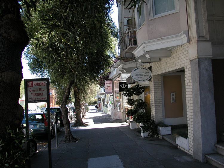
Laurel Heights is a neighborhood in the Western Addition district of San Francisco, California.
Map of Laurel Heights, San Francisco, CA 94118, USA
It is located to the south of the Presidio of San Francisco and east of the Richmond District. It is bordered by Geary Boulevard and the University of San Francisco campus to the south, Arguello Boulevard to the west, California Street to the north and Presidio Avenue to the east.
The Laurel Village shopping center is located on California between Laurel and Spruce, the California Pacific Medical Center is on California between Arguello and Maple, and a UCSF campus is located in the northeastern corner of the neighborhood.
The neighborhood is characterized by two-story Edwardian and Victorian style homes in an upper-middle class suburban neighborhood. The area has an award-winning public school: Roosevelt Middle School located on Arguello Street and Geary Avenue.