
Country United States GNIS ID 1541399 Local time Monday 11:00 AM | Time zone Eastern (EST) (UTC-5) Elevation 531 m | |
 | ||
Weather 3°C, Wind SE at 18 km/h, 51% Humidity | ||
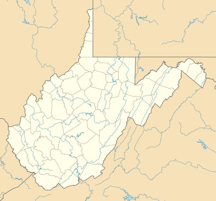
Laurel Creek is an unincorporated community and coal town in Fayette County, West Virginia, United States.
Map of Laurel Creek, New Haven, WV 25976, USA
The community takes its name from nearby Laurel Creek.
References
Laurel Creek, West Virginia Wikipedia(Text) CC BY-SA