
Country United States FIPS code 19-43680 Elevation 318 m Zip code 50141 Local time Monday 10:32 AM | State Iowa Time zone Central (CST) (UTC-6) GNIS feature ID 0458239 Area 65 ha Population 243 (2013) Area code 641 | |
 | ||
Weather -6°C, Wind N at 32 km/h, 90% Humidity | ||
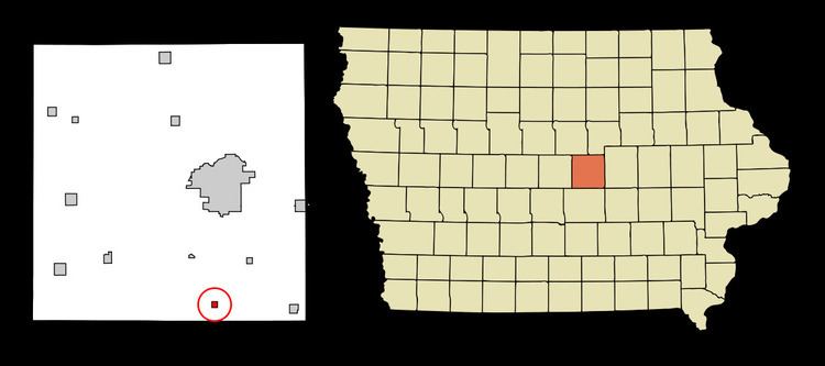
Laurel is a city in Marshall County, Iowa, United States. The population was 239 at the 2010 census.
Contents
Map of Laurel, IA 50141, USA
History
Laurel was platted in 1880 by Conrad Wissenbarger, and it was incorporated in 1902.
Geography
Laurel is located at 41°53′1″N 92°55′22″W (41.883720, -92.922906).
According to the United States Census Bureau, the city has a total area of 0.25 square miles (0.65 km2), all land.
2010 census
As of the census of 2010, there were 239 people, 109 households, and 64 families residing in the city. The population density was 956.0 inhabitants per square mile (369.1/km2). There were 122 housing units at an average density of 488.0 per square mile (188.4/km2). The racial makeup of the city was 98.7% White, 0.4% African American, 0.4% Asian, and 0.4% from two or more races. Hispanic or Latino of any race were 2.1% of the population.
There were 109 households of which 29.4% had children under the age of 18 living with them, 37.6% were married couples living together, 14.7% had a female householder with no husband present, 6.4% had a male householder with no wife present, and 41.3% were non-families. 38.5% of all households were made up of individuals and 19.3% had someone living alone who was 65 years of age or older. The average household size was 2.19 and the average family size was 2.89.
The median age in the city was 43.8 years. 25.5% of residents were under the age of 18; 5.4% were between the ages of 18 and 24; 20.9% were from 25 to 44; 30.1% were from 45 to 64; and 18% were 65 years of age or older. The gender makeup of the city was 49.8% male and 50.2% female.
2000 census
As of the census of 2000, there were 266 people, 109 households, and 70 families residing in the city. The population density was 1,056.7 people per square mile (410.8/km²). There were 122 housing units at an average density of 484.7 per square mile (188.4/km²). The racial makeup of the city was 96.24% White, 0.38% Native American, 1.13% Pacific Islander, and 2.26% from two or more races. Hispanic or Latino of any race were 2.63% of the population.
There were 109 households out of which 26.6% had children under the age of 18 living with them, 54.1% were married couples living together, 7.3% had a female householder with no husband present, and 34.9% were non-families. 32.1% of all households were made up of individuals and 20.2% had someone living alone who was 65 years of age or older. The average household size was 2.44 and the average family size was 3.00.
In the city, the population was spread out with 26.3% under the age of 18, 4.9% from 18 to 24, 25.9% from 25 to 44, 25.9% from 45 to 64, and 16.9% who were 65 years of age or older. The median age was 40 years. For every 100 females there were 97.0 males. For every 100 females age 18 and over, there were 96.0 males.
The median income for a household in the city was $32,031, and the median income for a family was $38,125. Males had a median income of $30,208 versus $17,188 for females. The per capita income for the city was $14,980. About 1.4% of families and 7.0% of the population were below the poverty line, including 9.2% of those under the age of eighteen and 12.2% of those sixty five or over.