
Quadrant NW Sector Mature area Area 130 ha | Ward 2 Elevation 674 m Population 2,733 (2012) | |
 | ||
Restaurants Saccoma Bros Ltd, Thanh Da Restaurant, Subway | ||
Lauderdale is a residential neighbourhood in north west Edmonton, Alberta, Canada. It is named for "James Lauder who farmed and owned land near the neighbourhood before the turn of the 20th century".
Contents
- Map of Lauderdale Edmonton AB Canada
- Demographics
- Residential development
- Population mobility
- Schools and recreation
- Surrounding neighbourhoods
- References
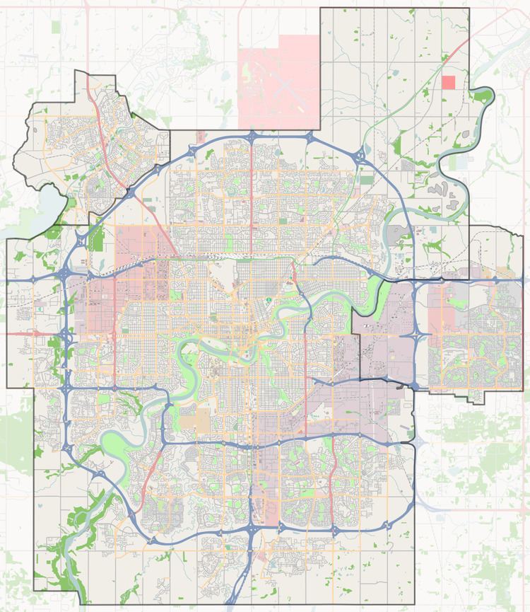
Map of Lauderdale, Edmonton, AB, Canada
The neighbourhood is bounded on the east by 97 Street, on the west by 113 A Street, on the north by 132 Avenue, and on the south by 127 Avenue. Shopping services at Northgate Centre and North Town Mall are located just to the north along 97 Street. Access to CFB Edmonton to the north is also provided by 97 Street. Travel south along 97 Street provides access to the downtown core and the Northern Alberta Institute of Technology.
Demographics
In the City of Edmonton's 2012 municipal census, Lauderdale had a population of 7003273300000000000♠2,733 living in 7003133300000000000♠1,333 dwellings, a -4.9% change from its 2009 population of 7003287500000000000♠2,875. With a land area of 1.3 km2 (0.50 sq mi), it had a population density of 7003210230000000000♠2,102.3 people/km2 in 2012.
Residential development
According to the 2001 federal census, most of the residential development in the neighbourhood occurred after the end of World War II. Two out of every five (42.9%) of all residences were built between 1946 and 1960. Another one in three (32.5%) of all residences were built during the 1960s. One in six (16.5%) of residences were built during the 1970s. Residential development was substantially complete by 1980.
The most common type of residence in the neighbourhood, according to the 2005 municipal census, is the single-family dwelling. These account for three out of every five (57%) of all residences in the neighbourhood. One residence in five (18%) are rented apartments in low-rise buildings with fewer than five stories. One residence in eight (13%) are duplexes and one in eight (12%) are row houses. Three out of every four residences (57%) are owner-occupied while two out of five residences (43%) are rented.
Population mobility
The population of the neighbourhood is somewhat mobile. According to the 2005 municipal census, one in six residents (16.3%) had moved within the previous twelve months. Another one in five (21.1%) had moved within the previous one to three years. Half of all residents (49.5%) had lived at the same address for at least five years.
Schools and recreation
There are two schools in the neighbourhood. Lauderdale Elementary School is operated by the Edmonton Public School System. Ecole Pere-Lacombe (Francophone) is operated by the Edmonton Catholic School System.
The Grand Trunk Arena and the Grand Trunk Fitness and Leisure Centre are both located near the north west corner of the neighbourhood.
Surrounding neighbourhoods
The neighbourhood of Westwood and the Edmonton City Centre Airport is located to the south of the neighbourhood on the south side of the Yellowhead Corridor.